-
Share this page
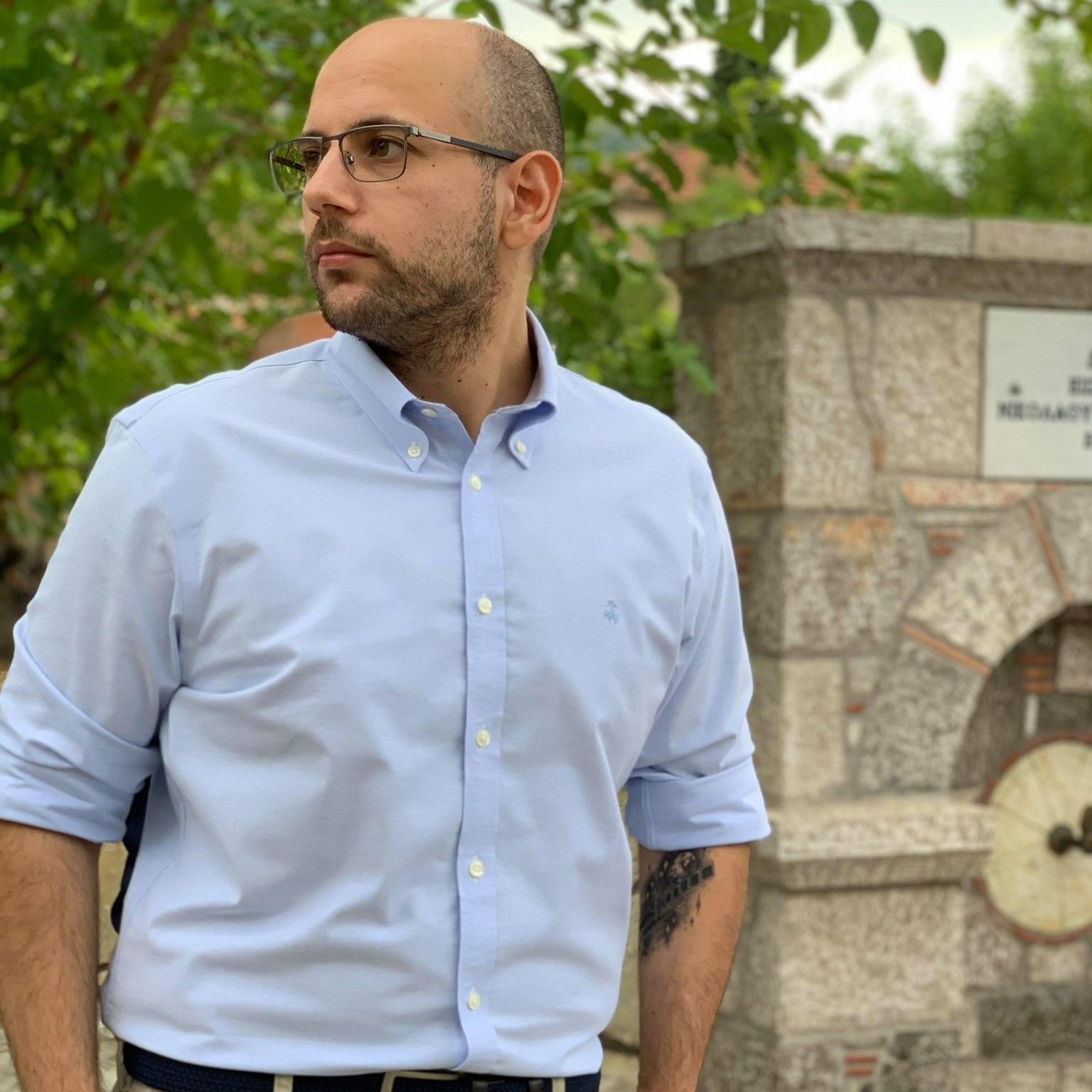
Dr. Georganos Stefanos
Affiliate Postdoctoral Researcher
Description
Stefanos Georganos, is a scientific affiliate with the Universite Libre de Bruxelles (ULB) and a post-doctoral fellow at the Royal Institute of Technology, Sweden as a holder of the prestigious Digital Futures grant. He is also Chair of the Special Interest Group on Developing Countries of the European Association of Remote Sensing Laboratories (EARSeL). He received his doctoral diploma at ULB, under Prof. Eleonore Wolff where he investigated how biophysical, socio-economic and epidemiological representations of Sub-Saharan African cities can be extracted with the use of satellite information.
Research
He does research in quantitative human geography, remote sensing, spatial epidemiology and machine learning. He is particularly interested in the use of geo-information for helping address the UN Sustainable Development Goals, with a geographical interest in sub-Saharan African cities. His latest research unravels the potential of Artificial Intelligence and Earth Observation to detect, measure and characterize socio-economic inequalities in deprived urban areas in support of the most vulnerable populations. Stefanos is a lively proponent of the open source and access movement (https://www.osgeo.org/) and prefers to conduct his research only through free and open source software.
Membership
Royal Geographical Society of Belgium (RGBS), member.
European Association of Geographers (EUROGEO), member.
Hellenic Society of Swedish Scholars (Swedish Institute Alumni Association), managing board.
European Association of Remote Sensing Laboratories (EARSeL), member and Chair of the Special Interest Group on Developing Countries.
- Research projects (selection)
-
2016-2021: REACT
2021-2023: POPAIThe project aims to fill urban population data gaps in developing countries by harnessing the power of Earth Observation (EO) data and AI. Through an innovative framework, very-high-resolution satellite information will be fused with ancillary sources, such as Volunteer Geographic Information data and machine learning. The long-term goal of POPAI is to better understand the synergy and potential of AI and EO towards scalable population mapping, helping address the United Nations Sustainable Development Goals, support evidence-based policymaking and foster a better future for the cities of tomorrow.
- Publications


